Development of Trans Sumatra Toll Road WebGIS for Efficient Visualization
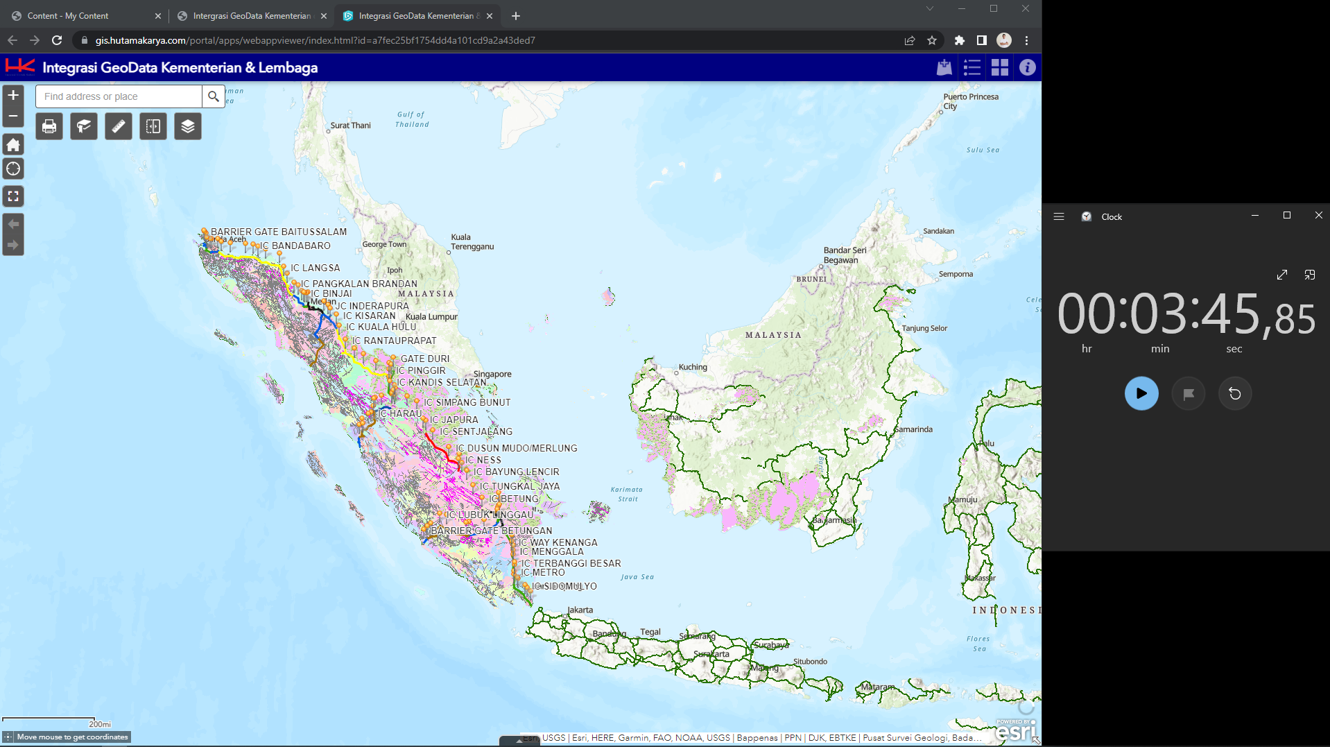
The Trans Sumatra Toll Road WebGIS is a geospatial platform developed by the Toll Road Planning Division of PT Hutama Karya (Persero) to facilitate efficient visualization and management of spatial data for the Trans Sumatra Toll Road (JTTS). This toll road spans approximately 2,789 kilometers, connecting Lampung to Aceh, and is one of Indonesia's National Strategic Projects (PSN).
Development of Trans Sumatra Toll Road WebGIS for Efficient Visualization
As part of my final project, I developed an enhanced WebGIS application focused on the Trans Sumatra Toll Road (JTTS) to improve the efficiency and usability of toll road planning data visualization. The application was designed to support the toll road planning division at PT Hutama Karya (Persero).
1. Spatial Data Optimization:
- Reorganized spatial vector data into the Web Map Service (WMS) format, reducing data loading times by 94%, with the application now responding within 12 seconds.
- Enhanced spatial data visualization by applying distinct color schemes and adding labels for provincial and municipal boundaries to simplify user identification.


2. Custom Widget Development:
- Enhanced Drawing Tool (eDraw): Enables users to mark or annotate locations on the map, with export/import functionality for further analysis.

- Custom Print Tool: Provides printing capabilities with customized layouts tailored to PT Hutama Karya’s thematic map standards, supporting various paper sizes and orientations.

- Data Download Tool: Facilitates data export for specific toll road sections based on user-defined Areas of Interest (AOI) in formats such as Shapefile, DWG, and GDB.

3. Platform Utilization:
- Built using ArcGIS Web AppBuilder and customized with ArcGIS Developer for advanced widget functionalities.
- Deployed through ArcGIS Server, ensuring data integrity and accessibility for internal stakeholders.
4. Usability Testing and Performance Evaluation:
- Conducted user testing with internal users, achieving a System Usability Scale (SUS) score of 70, indicating a good level of user satisfaction.
- Implemented performance testing to validate the improvements in application speed and responsiveness.

Outcome:
This project resulted in a significantly more efficient WebGIS platform, enabling faster data access and improved decision-making for toll road planning in Sumatra. It highlights my expertise in geospatial technologies, user-centric design, and custom development using the ArcGIS ecosystem.